Project:
The data unit department at Trinity Mirror, now known as Reach requested a way to display data linked to locations on a map.
Process:
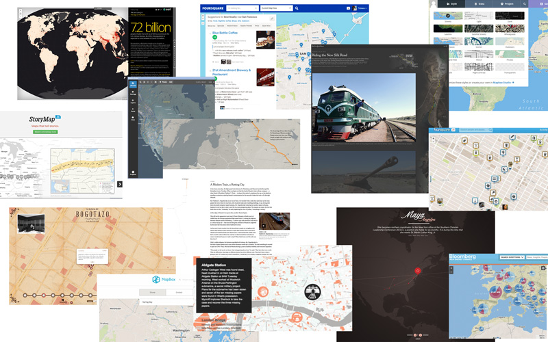
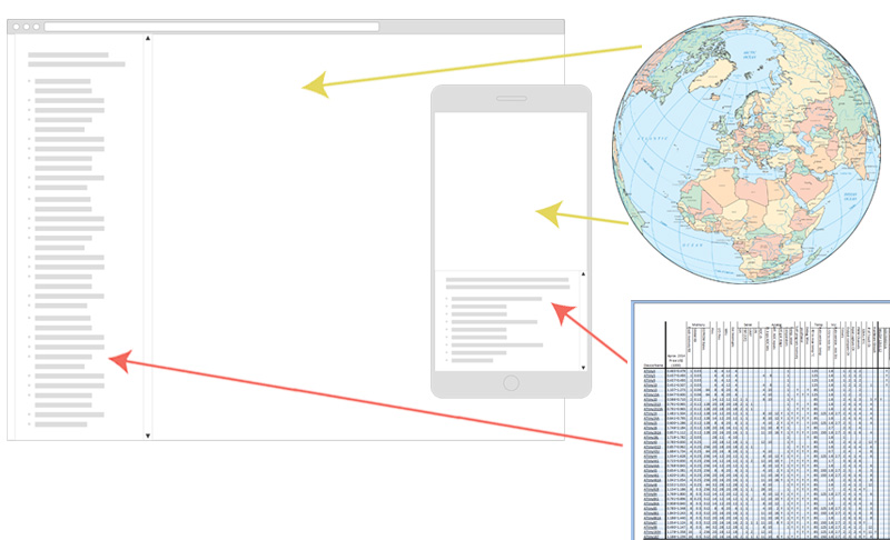
Research was carried out to find the latest map trends. A responsive solution was needed as the data and maps needed to be viewed on wide screens and narrow devices.
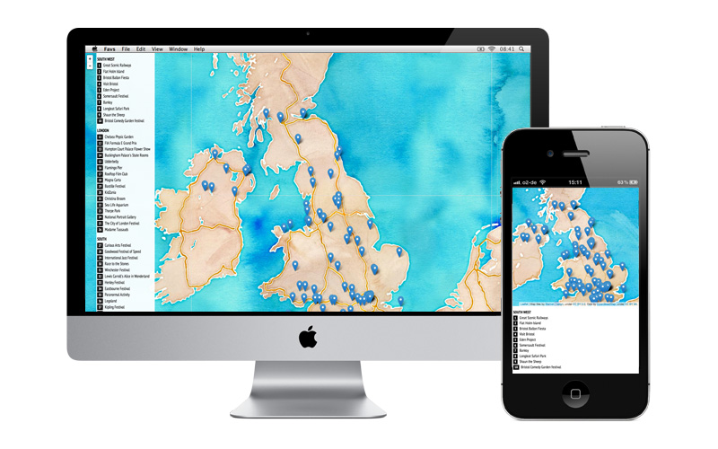
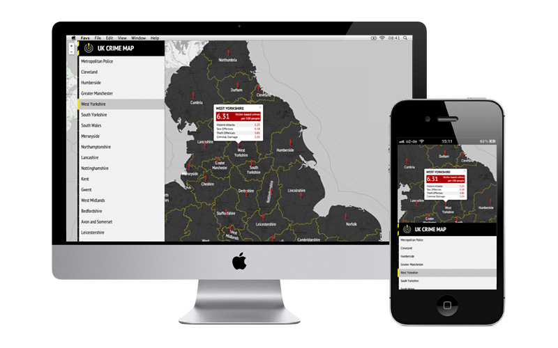
After much research this design with a list of data titles with a map proved to be the best option using Leaflet When a data title or marker is selected, a popup appears with more data. The map layer can easily be changed as there are a variety of map tiles which I compiled a little library.
This project is still ongoing and the next stage is so allow data to be entered or edited easily for editors, integration with google spreadsheets will be implemented. Search and category filters will also added.